Ottawa enters coldest week of winter so far with arctic air to linger for days
Posted Jan 15, 2024 07:13:55 AM.
Last Updated Jan 15, 2024 07:24:56 AM.
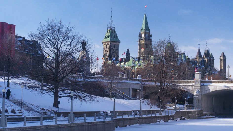
Following a warmer-than-normal start to the season, Ottawa is getting its first taste of real winter air with an extended cold wave that’s expected to stick around for several days.
Morning commuters will need to bundle up with the windchill making things feel like -16 early Monday and -21 for the afternoon.
The rest of the week will see more of the same.
Tuesday calls for flurries (5 cm) and a high near -6 C, with a morning windchill near -20.
Temperatures will hover around the -10 C mark for the rest of the week with daytime air slightly warmer and a colder feel at night.
Ottawa’s forecast from Environment Canada:
- Today: Cloudy with 40 per cent chance of flurries for the morning, then some clearing. Wind southwest 20 km/h gusting to 40. High minus 8. Wind chill minus 16 this morning and minus 21 this afternoon.
- Tonight: Increasing cloudiness late this evening. Low minus 16. Wind chill minus 24 this evening.
- Tuesday: Flurries. Amount 5 cm. Wind up to 15 km/h. High minus 6. Wind chill minus 19 in the morning and minus 8 in the afternoon.
- Night: Clear. Low minus 16.
- Wednesday: A mix of sun and cloud with 30 percent chance of flurries. High minus 10.
- Night: Cloudy periods with 30 percent chance of flurries. Low minus 15.
- Thursday: A mix of sun and cloud with 30 percent chance of flurries. High minus 9.
- Night: Cloudy periods. Low minus 17.
- Friday: A mix of sun and cloud. High minus 12.
- Night: Cloudy periods. Low minus 19.
- Saturday: A mix of sun and cloud. High minus 13.
- Tonight: Cloudy periods. Low minus 16.