Winter weather makes fierce return with ‘significant’ snow, ice and freezing rain
Posted Mar 28, 2025 10:13:57 AM.
Last Updated Mar 28, 2025 12:02:30 PM.
It may be a week into spring but the Ottawa area is in for a winter wallop the entire weekend.
Environment Canada has issued multiple alerts across all of eastern Ontario in advance of what’s expected to be a “prolonged period of freezing rain”.
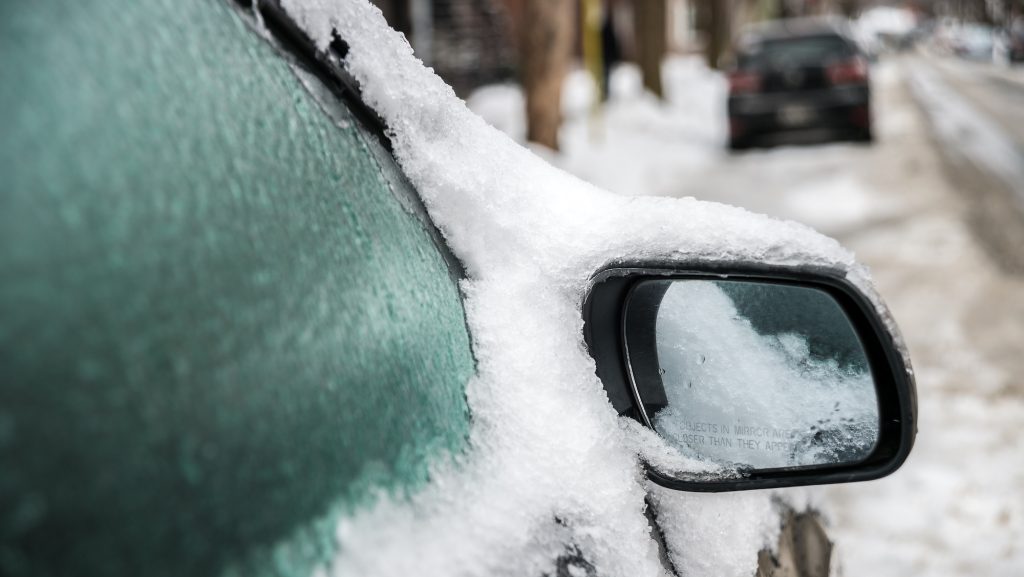
The weather agency says significant snowfall mixed with ice pellets is expected to begin Friday evening and continue into Saturday for areas further south. Snow totals are estimated to reach up to 20 cm.
Although the forecast could change at any point over the weekend, a freezing rain event is due to be the encore to heavy snowfall following a brief break from snowfall and ice pellets on Saturday. Meteorologist suggest ice accretion up to 10 mm is possible.
This is enough to cause widespread power outages, extremely slippery surfaces and broken tree branched due to the weight of ice build up.
The freezing rain is expected to last across the Ottawa area from Sunday morning and into the evening, which makes this weekend a difficult time to be out on the roads.
Winter weather storm threats across much of southern Ontario
Freezing rain warnings have been issued for Durham Region and York Region ahead of an ice storm that could bring up to 10 mm of ice accretion.
Environment Canada issued the warnings early Friday morning with the storm expected to begin this evening into Sunday morning.
The weather agency says the rain will begin in the late afternoon before transitioning into freezing rain, but there is a chance the rain will return on Saturday as the temperature is expected fluctuate around the freezing mark.
With files from Meredith Bond.