Wet, wintry weather rings in spring

Posted Mar 21, 2026 10:40:53 AM.
Last Updated Mar 21, 2026 10:40:59 AM.
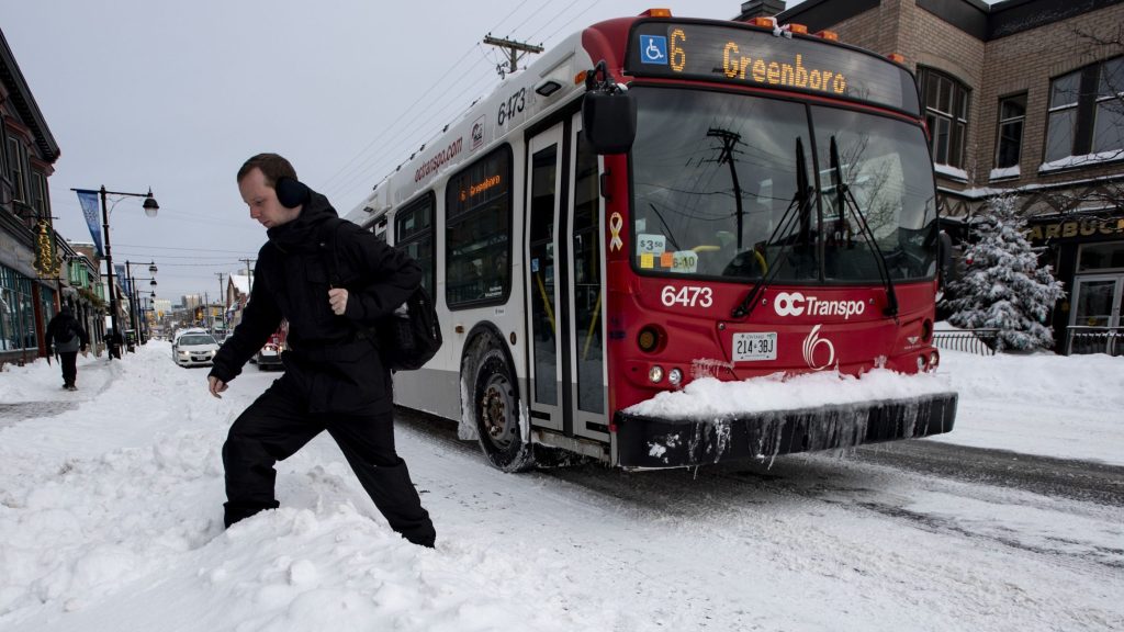
It may be the first full day of spring, but the snow isn’t over just yet.
Environment Canada is forecasting flurries for the entire week.
The heaviest snow will come Saturday night with five centimetres expected to fall. Snow will taper off to flurries by Sunday afternoon but is expected to fall all week.
CityNews chief meteorologist Natasha Ramsahai says the Ottawa region can expect a cooler and wetter beginning to spring.
“We’ll likely see still a lot of mixed precipitation, possibly still some flurries, freezing rain and ice pellets … at least for the first half of spring, or at least the rest of March, and then that will transition to rain here as we go through April and May,” she said regarding areas around the Great Lakes.
Temperatures will hover around the 0 C mark all week, according to Environment Canada. Overnight lows are predicted to dip down to -13 C Wednesday night.
Average highs for this time of year are between 3 and 4 C with lows of -6 C.
Ramsahai says cooler temperatures are a result of a “leftover lobe of the polar vortex.”
“That’s going to allow a lot of cold air to spill south here across the eastern part of the country,” she says.
Temperatures are expected to return to normal by late spring.
– With files from CityNews’ Nick Westoll.