Hurricane Fiona to begin impacting Atlantic Canada on Friday with ‘severe’ wind, rain
Posted Sep 23, 2022 02:10:00 PM.
Residents on Canada’s east coast are bracing for what could be the country’s strongest ever storm, as Hurricane Fiona continues to churn north in the Atlantic.
The category four hurricane is expected to start lashing Nova Scotia with heavy wind and rain on Friday night, before moving inland.
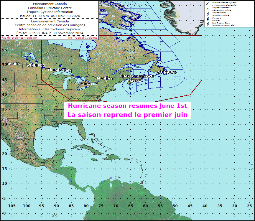
The Canadian Hurricane Centre is predicting Fiona will be a severe weather event for Atlantic Canada and Eastern Quebec. All areas in the Atlantic provinces that were previously under tropical storm or hurricane watches, are now under warnings, including Nova Scotia, Prince Edward Island, Newfoundland, most of New Brunswick, and the far eastern parts of Quebec.
“It’s a currently a very dangerous storm, and it’s going to continue to be as it moves up into Atlantic Canada,” says David Neil, a meteorologist in Newfoundland with Environment Canada. “We expect very, very strong winds as well as very heavy, significant rainfall.”

After reaching Nova Scotia waters by Friday night, the storm is expected to pass through Cape Breton and Prince Edward Island on Saturday, and on to Quebec’s Lower North Shore and southeastern Labrador early Sunday.
Environment Canada says the areas under warnings can expect wind gusts of up to 60 to 90 km/h. As much as 200 millimetres of rain is forecast to fall in the impacted regions.
“Wind gusts closer to 100 km/h are expected in some regions,” meteorologists warn. “These winds could break large tree branches resulting in downed utility lines.
“Some damage to signage and roof shingles may also occur. Secure loose objects on your property and anticipate power interruptions. Identify important belongings and backup items such as flashlights in case of power interruption.”
The U.S. hurricane center said the storm had maximum sustained winds of 205 km/h late Thursday. It was centered about 200 km north of Bermuda, heading north-northeast at 41 km/h. Fiona is expected to be a post-tropical storm by the time it reaches Canada.
Neil warns that whether or not the storm is classified as a hurricane when it arrives, it will still present a danger for residents in the impacted areas.
“Either way it doesn’t matter,” he says. “Once it goes post-tropical people think it weakens, it does not. It’s still a very, very dangerous storm that is going to produce very significant impacts to many of the Atlantic provinces and parts of eastern Quebec through the weekend.”
Residents advised to make preparations, have emergency kits ready
Along with the wind and rain, the storm is also expected to bring high waves that could lead to coastal flooding, as well as widespread power outages and structural damage to some buildings. Any buildings under construction will be particularly susceptible.
Residents are being urged to make any household preparations now, ensuring they have emergency kits ready, their storm drains are cleared, and outdoor furniture is removed. Environment Canada recommends each household has sufficient food and water for up to 72 hours, and residents should ensure they have a way to charge cell phones if they do not have a landline.
“We could be feeling the impact from this for days after for sure,” Neil says.
Neil says heavier rain is expected to begin in the region on Friday due to another weather system that’s currently moving across northern Quebec. Fiona is forecasted to pass near Bermuda early Friday before reaching Atlantic Canada the next day.
Air Canada has announced they would be waiving change fees for numerous destinations due to the expected stormy weather — among them, Halifax, Fredericton and St John’s.


