Orléans tornado path may have exceeded 25 kilometres
Posted Jun 5, 2019 10:34:00 AM.
This article is more than 5 years old.
Environment Canada has released new details about Sunday's tornado in Orléans, and says the twister may have travelled farther than originally thought.
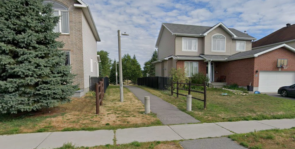
The tornado developed over Orléans just before 6 p.m., Sunday. The twister travelled eastward, just north of Highway 174 and Place D'Orléans Shopping Centre, before travelling through residential neighbourhoods between Champlain Street and Trim Road. This is where most of the tornado damage was reported, particularly because of the population density.
Environment Canada says the tornado then moved just south of Petrie Island before returning to Highway 174, proceeding east along the highway for some distance before gradually veering southeastward while weakening.
While no detectable damage could be found in Cumberland, Environment Canada believes the tornado may have intermittently redeveloped between Cumberland and Clarence Creek, which suggests the length of this tornado's path may have exceeded 25 kilometres.
Roof damage to a three-storey condominium building on Prestige Circle in Orléans was consistent with an EF-1 tornado. Environment Canada has classified the twister as an EF-1 with maximum winds of 150-170 km/h.