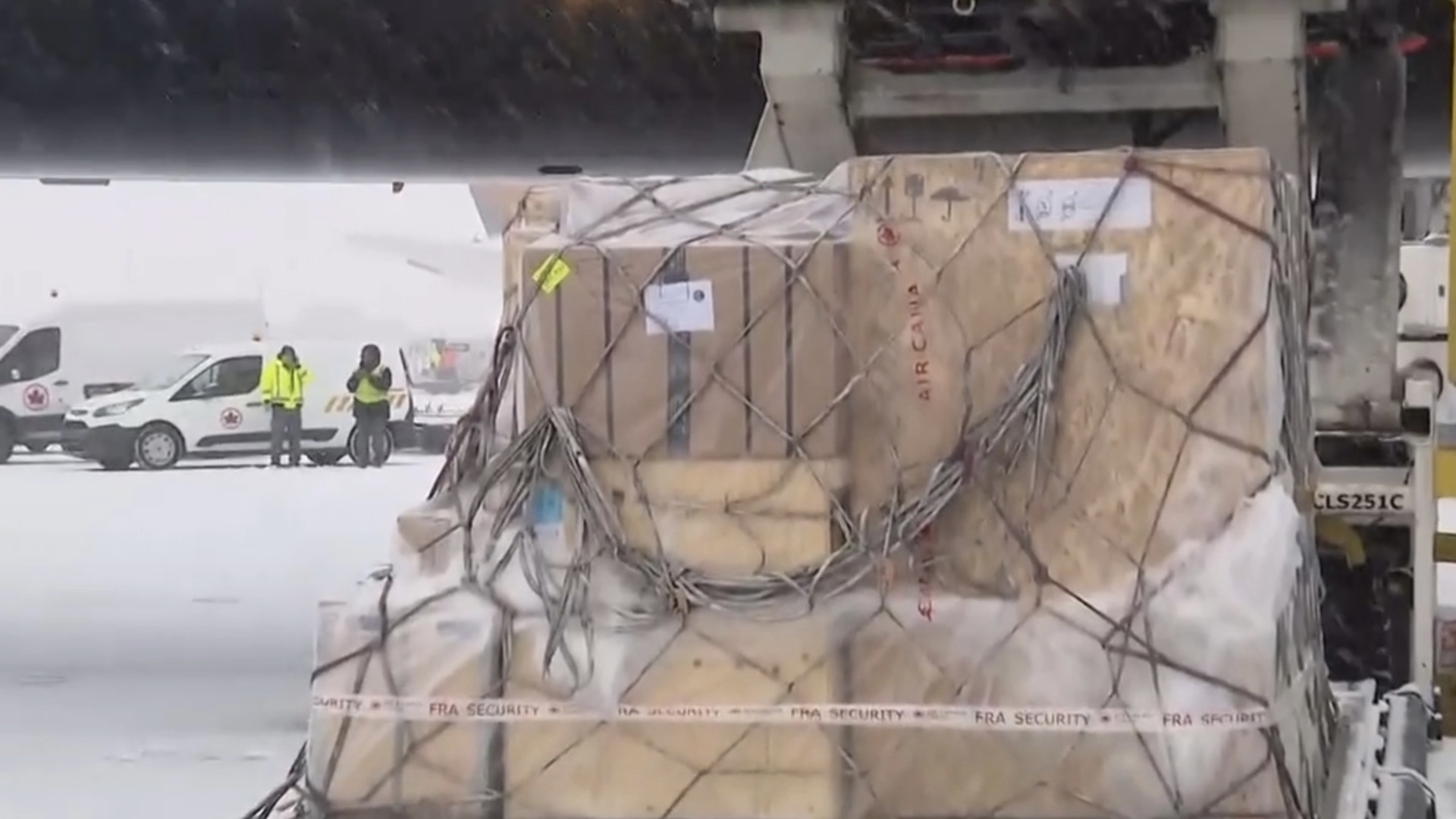
Winter storm bringing big snow dump to Ottawa area
Posted Mar 14, 2017 04:17:51 AM.
Last Updated Mar 14, 2017 11:41:15 AM.
This article is more than 5 years old.
OTTAWA – Don’t put your snow shovel away just yet.
Environment Canada has issued a special weather statement for the National Capital Region calling for a big dump of snow.
The forecast calls for about 5 cm of steady snow Tuesday afternoon, with another 5-10 cm forecast into the evening.
Periods of snow are forecast to continue through the day Wednesday, before tapering off around 3 p.m.
The majority of snow from this storm is forecast to hit to the south of us; a winter storm warning is in effect for areas including Kingston, Cornwall and Brockville.
Click here for updated alerts for Ottawa.
– – – – – – –
Related:
Ontario, US East Coast slammed by powerful snow storm
Winter storm settles into southern Ontario, stretches from Windsor to Quebec
– – – – – – – –
Jill Taylor’s Ottawa Forecast:
Special weather statement for Ottawa and area.
Winter storm warning for areas to the south, including Kingston and Cornwall. (15-25 cm)
Today: Cloudy with flurries this morning.
Steady snow for the afternoon.
About 5cm – – – bulk of snow to south (Kingston, Brockville to Cornwall)
Northeast wind to 40km/hour with higher gusts.
Guaranteed high minus 7, wind chill near minus 17.
Tonight: Windy with snow.
5-10cm possible.
Low near minus 11, wind chill near minus 22.
Tomorrow: Periods of snow ending around 3 p.m.
Northwest wind to 40km/hour.
High near minus 6.
Thursday: Sun and cloud.
High near minus 4.
Friday: Mainly sunny
High near 0.
Saturday: Snow. 5cm possible.
High near minus 1.
Sunday: Clearing.
High near 0.
(Astronomical spring arrives March 20 6:29 a.m.)