Autumn-like weather to hit nation’s capital this weekend
Posted Sep 6, 2024 09:06:06 AM.
Last Updated Sep 6, 2024 10:47:38 AM.
It’s going to feel a lot like autumn this weekend across the National Capital Region, though it will be short-lived.
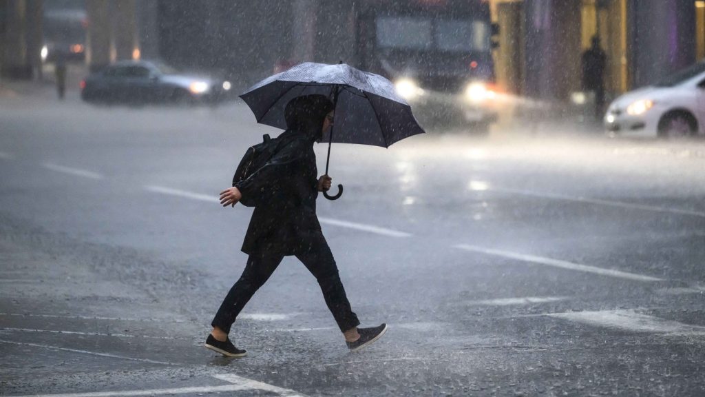
Cooler temperatures are moving in, along with cloudy skies, heavy rain, and thunderstorms.
According to Environment Canada, the skies will cloud over Friday, before rain and colder temperatures arrive in the evening.
The weather agency is predicting 20 to 30 mm of rain overnight, along with a risk of thunderstorm and a low 15 C.
Showers are forecast to continue Saturday with another 10 to 15 mm and a high just 16 C and an overnight low of 8 C.
We could see some sunshine Sunday, with a 30 per cent chance of showers and a high 16 C.
Heat and humidity will return next week, with highs between 21 and 26 C between Monday and Thursday.
Ottawa’s 7-day forecast:
- Today (Friday, Sept 6) Increasing cloud. High 24. Humidex 27.
- Tonight: Cloudy. Showers beginning early this evening. Risk of a thunderstorm this evening and after midnight. Local amount 20 to 30 mm. Low 15.
- Saturday, Sept. 7: Showers. Local amount 10 to 15 mm. High 16.
- Saturday night: Cloudy with a 40 percent chance of showers. Low 8.
- Sunday, Sept. 8: A mix of sun and cloud with a 30 percent chance of showers. High 16.
- Sunday night: Clearing. Low 10.
- Monday, Sept. 9: Sunny. High 21.
- Monday night: Cloudy periods. Low 12.
- Tuesday, Sept. 10: A mix of sun and cloud. High 24.
- Tuesday night: Cloudy periods. Low 14.
- Wednesday, Sept. 11: A mix of sun and cloud. High 25.
- Wednesday night: Cloudy periods. Low 14.
- Thursday, Sept. 12: A mix of sun and cloud. High 26.