Cold snap to turn into a warm-up soon: Environment Canada
Posted Feb 21, 2025 01:23:02 PM.
Last Updated Feb 21, 2025 04:31:57 PM.
It is frigid in the nation’s capital on Friday but that soon will change over the next few days.
According to the forecast from Environment Canada this weekend’s cold temperatures will shift to a late February thaw by early next week.
On Friday it is a high of -9 C with a wind chill dropping temperatures to -20 C. The sun is keeping spirits high but the clouds are set to come overnight, dropping temperatures to -24 C.
People on Saturday could see some flurries in the afternoon with wind gusts near 20 km/h increasing to 40 km/h by late in the day. The wind chill will hover around -23 C, the weather agency notes.
Near the end of the weekend, more flurries can be expected but temperatures are expected to rise on Sunday.
By Monday, Ottawa could see temperatures above 0 C, with a 70 per cent chance of wet snow or rain.
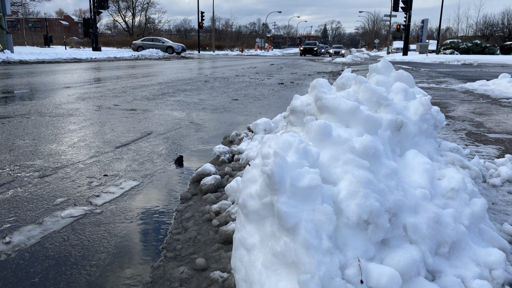
This is the first time in weeks that temperatures have hovered around the freezing mark, and could have ramifications for the city’s beloved skateway.
However, forecasts show the thaw will be brief and will likely only put a small dent in the more than 70 centimetres of snow that fell last week.
NewsRadio’s Meteorologist Jill Taylor, says the warm system will just kick off the week.
“This milder air is gradually going to work in, it’ll actually be above the freezing mark early next week, but it’s not going to last,” said Taylor.
She expects highs of 3 C on Monday and Tuesday, but more cold air for Wednesday and the rest of the week.