Snowfall warning issued for Ottawa area
Posted Nov 9, 2025 10:39:01 AM.
Last Updated Nov 10, 2025 11:29:34 AM.
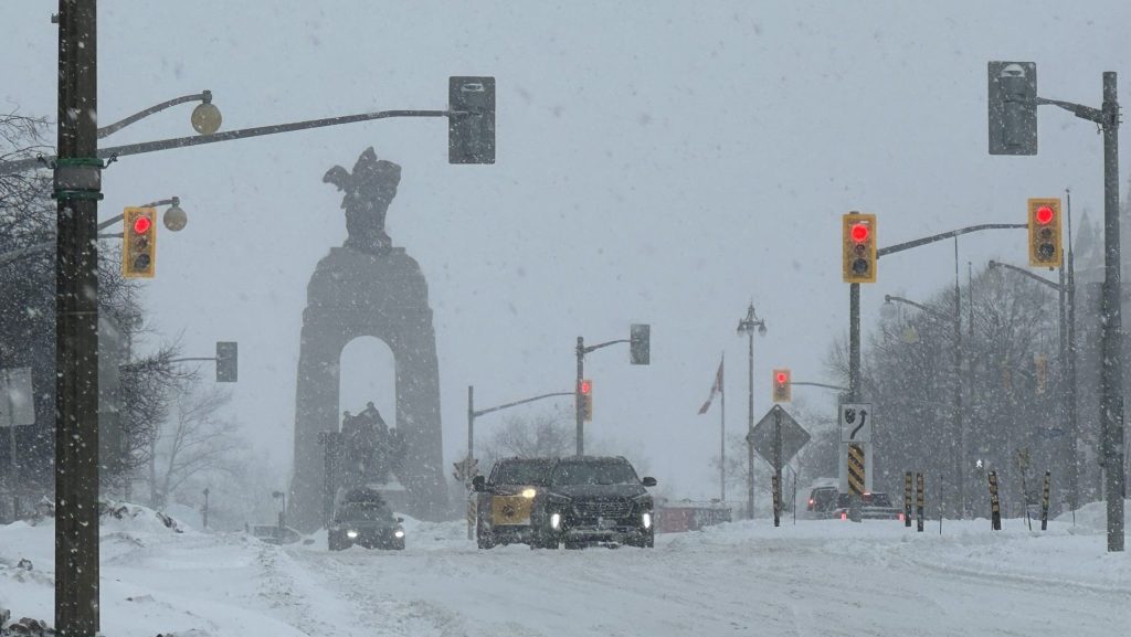
The first snowfall of the season is here.
Environment Canada issued a snowfall warning for Ottawa North, Kanata and Orléans early Sunday morning.
According to the weather agency, the area can expect 10 to 20 cm of snow throughout the day with peak snowfall rates of two to five centimetres per hour.
The heaviest snow is expected late afternoon and into the evening.
Overnight snow could be mixed with ice pellets as the temperature drops to -3 C.
The Ottawa Police Service put out a notice on X about the anticipated snowfall, reminding drivers that if they must be out on the roads to drive carefully.
In an evening update on X, the Ontario Provincial Police said its detachments across eastern Ontario responded to more than 120 collisions between noon and 4 p.m.
Police say there have been no fatalities and most incidents involved trucks or cars sliding off the roads.
There have been some temporary lane closures on Highway 401 and Highway 417 as a result.
“If you must be on the roads for the rest of the day and overnight… PLEASE slow down and drive carefully,” OPP said in its post. “Leave extra following distance, no sudden maneuvers or braking and keep your eyes on the road ahead.”
This week’s forecast
Monday, Nov. 10: Cloudy with 40 per cent chance of flurries. High of 0 C. Wind chill will make it feel like -9.
Tuesday, Nov. 11: A mix of sun and cloud with 40 per cent chance of flurries. High of 0 C.
Wednesday, Nov. 12: Cloudy with 40 per cent chance of rain or flurries. High of 4 C.