50 mm of rain possible in already flooded Ottawa
Posted Apr 29, 2026 01:21:58 PM.
Last Updated Apr 29, 2026 01:36:50 PM.
Heavy rain at times is expected on Wednesday night in the nation’s capital, bringing renewed fears of flooding to already stressed homeowners.
Environment Canada warns that the storm passing the city could dump between 30 to 50 millimetres of rain overnight into Thursday. The low-pressure system is believed to cause “widespread heavy rain” that will likely pool on roads and low-lying areas.
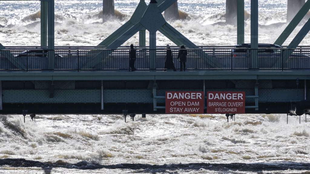
The weather agency issued a warning ahead of the deluge that is causing concerns for officials, as water just started to stabilize on the Ottawa River.
The Rideau Valley Conservation Authority released a statement to update its flood warning, which is in effect from Arnprior to Hawkesbury.
“Water levels and flows have gradually declined along the Ottawa River over the last few days. Based on forecasts from the Ottawa River Regulation Committee, rain forecasted in the Ottawa River Basin will lead to increases in water levels,” it reads.
The authority does believe the levels should not reach the peak that people saw the week before; however, major flooding is still possible.
“Water levels are currently expected to remain well below historical flood levels on the main stem of the Ottawa River,” it notes.
Hundreds of Gatineau buildings impacted
In the last week, water levels harmed some roads in Ottawa, but the city’s residents did not see the devastating impacts their neighbours across the river did.
The City of Gatineau said approximately 486 buildings have been affected by flooding, with 190 buildings that are still at risk of being flooded. As a result, 12 people have voluntarily evacuated their homes, and 109 people have received services from the Red Cross.
All evacuations are voluntary, but the city said staff are ready to support anyone who wishes to leave their home.