Possible quarter-sized hail for Ottawa during severe thunderstorm warning
Posted Jun 13, 2024 10:50:04 AM.
Last Updated Jun 13, 2024 10:51:38 PM.
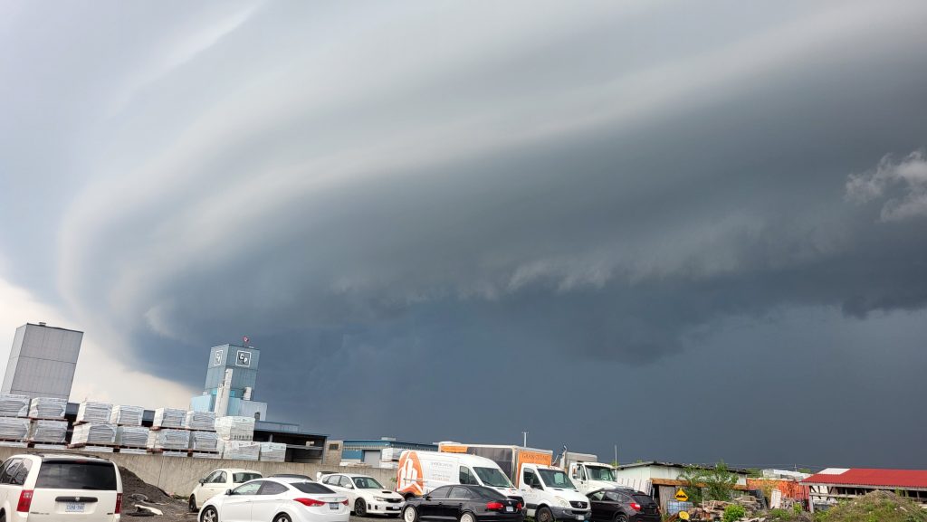
Environment and Climate Change Canada meteorologists have issued tornado and severe thunderstorm watches for a large swath of Ontario Thursday evening.
The City of Ottawa was placed under a severe thunderstorm warning around 10:20 5 p.m. Thursday.
Ottawa, Smiths Falls, Kanata, Gananoque, Cornwall, Metcalfe and others have all been impacted by a line of severe thunderstorms. These storms were forecasted to bring 120 km/h wind gusts and even quarter-size hail.
According to the weather alerts published in the morning, tornado watches were in effect for portions of the Ottawa Valley including:
- Renfrew
- Cobden
- Eganville
- Barry’s Bay
- Pembroke
- Petawawa
Meteorologists said “conditions are favourable” for severe thunderstorms that could produce tornadoes. They said wind gusts could reach 110 km/h with nickel to toonie sized hail and heavy rain is possible.
“This is a dangerous and potentially life-threatening situation,” the tornado watch said. “Be prepared for severe weather. Take cover immediately if threatening weather approaches.”
Should a tornado develop, residents are encouraged to stay indoors, go to a room on the lowest floor of the building, and stay away from outside walls and windows.
If someone is in a vehicle, tent, trailer or other temporary shelter, they were encouraged to go to as strong a building as possible. If this can’t be done, people were encouraged to lie in a low spot and protect their heads from potential debris.
Meanwhile, officials urged people to pay attention to their mobile devices and local media in case emergency warnings are issued.