Thunderstorms possible on Monday for Ottawa, surrounding area
Posted Jul 15, 2024 02:12:12 PM.
Last Updated Jul 15, 2024 05:13:43 PM.
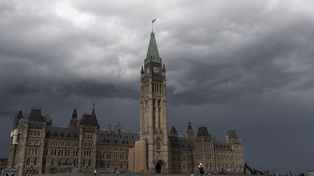
Just after 5:00 p.m., Environment Canada issued a severe thunderstorm warning for the nation’s capital, building off an earlier alert for the Ottawa Valley and Lanark County.
The weather agency said conditions are “favourable” for the development of severe thunderstorms that could produce strong wind gusts, large hail, heavy rain and flash flooding.
They suggest to not try and drive through water pooled on roads.
Details of the previous watch include 100 km/h winds, toonie-sized hail and rainfall amounts between 30 to 50 mm.
Environment Canada said the storm is expected to move quickly and heavy downpours are possible.
“Severe thunderstorm watches are issued when atmospheric conditions are favourable for the development of thunderstorms that could produce one or more of the following: large hail, damaging winds, torrential rainfall,” the watch reads.
This comes as the nation’s capital is under a heat warning with daytime highs well into the 30s and the humidex making it muggier.
The weather agency adds there will be little relief at night as minimum temperatures are expected to be near 20 C.
A cooler airmass is expected to arrive Tuesday. More Ottawa forecast details here.