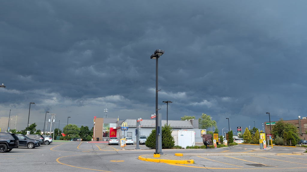
IN PHOTOS: Ottawa’s threatening severe thunderstorm from Thursday night

Posted Jul 25, 2025 12:08:23 PM.
Last Updated Jul 25, 2025 12:14:12 PM.
A severe thunderstorm warning was issued in Ottawa Thursday night just before 7:30 p.m.
The alert warned of heavy rain, strong winds and up to toonie-sized hail.
According to Environment Canada, the Ottawa International Airport recorded 8.4 mm of rain throughout the day and maximum wind gusts of 60 km/h.
The temperature dropped from 29.8 C to 21.9 C over just three hours as the storm rolled through. Speaking to how dark the area got during that time, the visibility dropped from the daily high of 24.1 kilometres to just 9.7 kilometres from 7 p.m. to 8 p.m.
All severe weather warnings were dropped by 10 p.m.
Ottawa residents can expect sun and temperatures around 30 C Friday and into the weekend.
Photos from severe thunderstorm

Billings Bridge, Downtown Ottawa pic.twitter.com/ow6tsn9rI4
— Peter Ibbotson (@PIbby_86) July 25, 2025