City triggers significant weather protocols ahead of prolonged freezing rain
Posted Mar 9, 2026 03:46:11 PM.
Last Updated Mar 10, 2026 03:11:14 PM.
Officials are warning of multiple longer-term systems bringing dangerous ice to Ottawa and the surrounding region.
Environment Canada notes that the low-pressure systems will lead to “significant” freezing rain in the nation’s capital. It could be raining for up to 24 hours, it warns, with up to 10 to 20 mm of ice accretion possible.
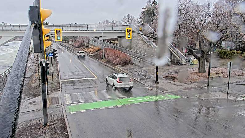
This prompted the City of Ottawa to declare a significant weather event, allowing additional winter crews to be called in to salt streets and sidewalks. Officials are asking people to be careful and to avoid unnecessary travel as the storm descends on the capital.
“Freezing rain may fall heavily at times. In this case, the precipitation may not freeze immediately, which may lead to localized flooding in low-lying areas,” the weather agency notes.
As of Tuesday afternoon, a parking ban is not in place, but that could change.
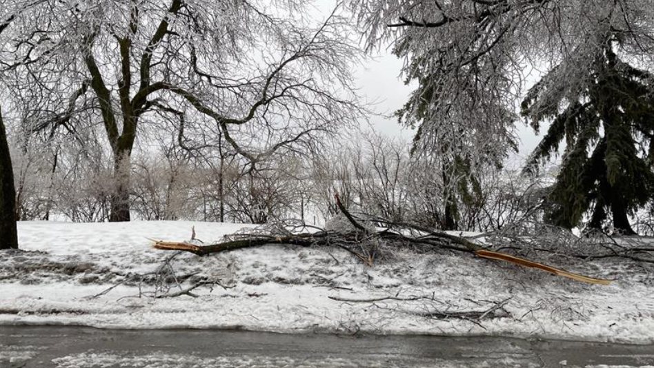
If ice builds up on power lines and branches, it could cause widespread outages and debris across roadways. City officials warned people they should prepare for outages.
Temperatures are expected to fluctuate over the next few days, with the forecast showing Tuesday will be around 9 C but fall to -2 C overnight.
Wednesday, it’s believed to be cooler, with temperatures hovering around 1 C and -1 C overnight, the perfect recipe for freezing rain.
Flooding risk increasing
The Rideau Valley Conservation Authority is closely monitoring water levels as they are expected to rise across Ottawa’s watershed.
The authority issued a flood watch for the North Gower area, specifically citing Stevens Creek and Taylor Drain. It believes that water levels could approach the flooding threshold this weekend.
The Long Reach of the Rideau River (Merrickville to Kars) is also under the watch.
On larger bodies of water, the conservation authority said: “Rapid melt conditions may increase the risk of ice movement and localized ice jam formation.”
The Mississippi Valley Conservation Authority warned residents near the Carp River and the Mississippi River that flooding is possible. Both have flood outlook statements in place.
South Nation Conservation Authority echoed the sentiments by noting “Widespread flooding is not anticipated at this time, however, this can quickly change depending on the amount and intensity of rainfall received.”