‘Highly impactful’ winter storm could have peak snowfall rates of 5cm/h
Posted Feb 10, 2025 03:11:29 PM.
Last Updated Feb 11, 2025 01:55:20 PM.
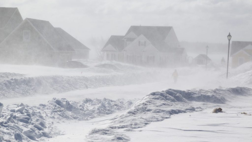
Environment Canada is warning that a winter storm is on its way to the nation’s capital with early predictions of 20 to 40 centimetres of snow possible.
The weather statement says that “significant” amounts of snow are likely to hit the region late Wednesday into Thursday. It is possible to see snowfall rates of more than 5 cm per hour at the peak of the storm.
Poor visibility, blowing snow and slippery conditions are possible.
“Confidence is increasing that a major winter storm will affect portions of southern and northeastern Ontario,” the weather agency said. “The track of the low-pressure system responsible is still somewhat uncertain which will affect exact snowfall amounts.”
If the system shifts farther south the precipitation that falls will be mostly snow, thus it is possible some areas could see more than what the weather agency has noted.
On Tuesday, Environment Canada said that 50 km/h wind gusts are possible and will increase blowing snow in the region.
“Regardless of the track of the weather system, hazardous travel conditions are likely Wednesday evening into Thursday morning,” statement reads. “Motorists are urged to consider postponing non-essential travel until conditions improve.”
The statement was issued across the province stretching from communities along Lake Huron to past the nation’s capital.