Storm, saturated with water, expected to dump up to 50mm on Ottawa
Posted Jun 10, 2026 12:54:18 PM.
Last Updated Jun 10, 2026 12:54:26 PM.
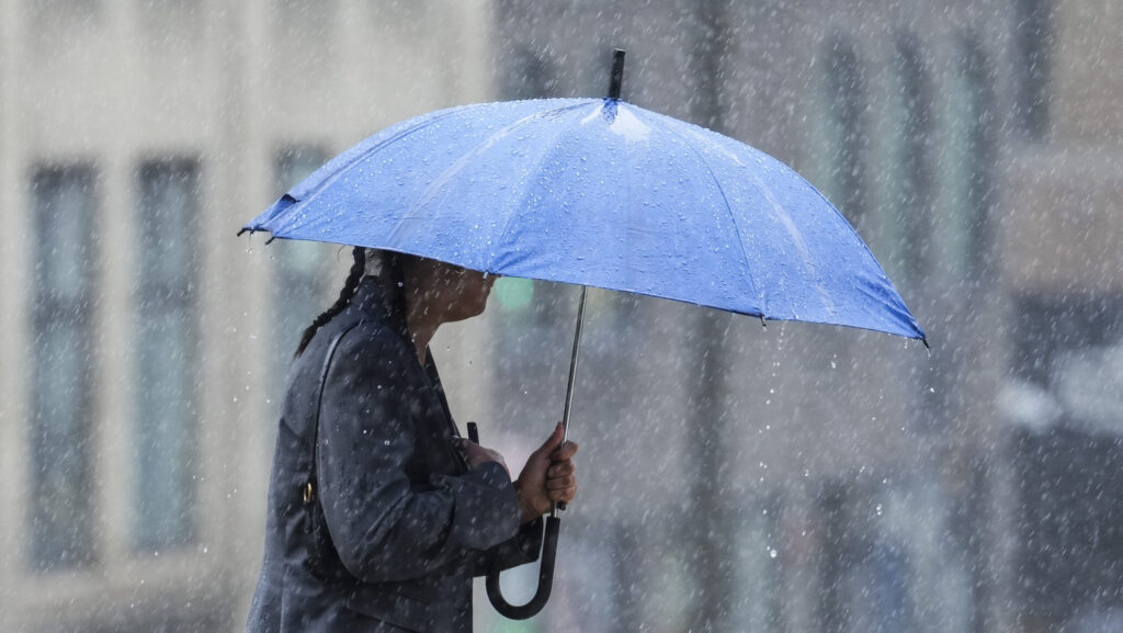
A slow-moving low-pressure system is bringing heavy rainfall overnight and a risk of thunderstorms to the nation’s capital.
Environment Canada believes that about 50 millimetres of rain is possible. The weather agency described the storm as “moisture-laden” as it moves across the province, bringing isolated thunderstorms.
“The high moisture associated with this low will lead to the potential for locally heavy rainfall,” it notes.
This could look like water pooling on roads and in low-lying areas.
It comes after a relatively dry period for the city, after intense snowmelt and rising rivers brought concerns to many earlier this spring.
By late April, waterways began to stabilize after the perfect storm flooded some parks and several Gatineau homes. More than 486 buildings were affected by flooding, resulting in 12 people voluntarily evacuating their homes, and 109 people received services from the Red Cross.
It is expected to remain hot and sticky on Thursday with a high of 28 C and the highest humidex of the week near 38.
The humidity will ease off slightly by Friday evening but humidex values will still remain in the high 20s.
Although the official start of summer is later in June, Ottawa has already seen above-seasonal temperatures this month. Summer officially arrives at 4:24 a.m. ET on June 21.