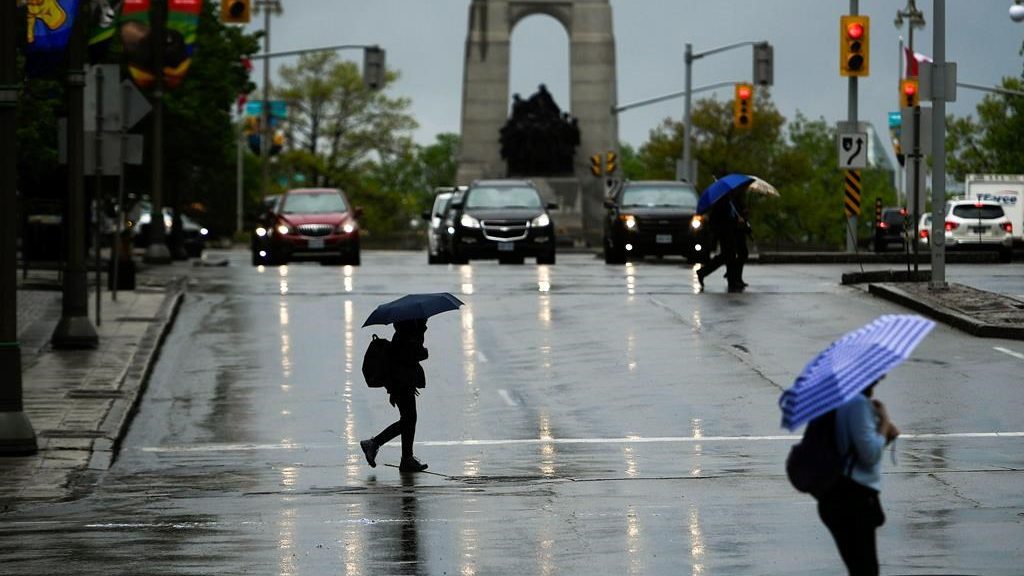
Flood watch issued for parts of Ottawa Valley, ahead of Beryl touchdown

The Mississippi Valley Conservation Authority (MVCA) issued a flood watch for its waterways and lakes ahead of post-tropical storm Beryl that will be in the province on Wednesday morning.
The storm system is expected to sweep across Ontario possibly bringing 25 to 50 mm of rain to Ottawa and higher totals for the Greater Toronto Area. Some places in the nation’s capital could see upwards of 50 mm.
An Environment Canada weather statement said that localized flooding or ponding is possible, something residents in Ottawa and the valley are all too familiar with.
Advertisement
Ahead of the storm, the City of Ottawa issued a memo for residents to prepare their homes from urban flooding.
The release cites the impending storm as one example of summer systems the region sees.
Some ways to mitigate the risk or damage include sealing window wells and cracks in the foundation, direct downspouts away from the home, clean eavestroughs and clear debris from the catch basic on the property.
The Rideau Valley Conservation Authority, which oversees most of the City of Ottawa and nearby areas, has not issued any watches or warnings. According to Brian Stratton, a spokesperson for the organization, the authority has been “closely” watching the forecast.
“At this time, it looks like the highest rainfall amounts will not be our watershed, and more so to the south of our watershed. So, riverine flooding is not expected to occur,” he told CityNews in an email.
As of Tuesday afternoon, Environment Canada issued a rainfall warning for areas south of Ottawa including Brockville, Prescott and Cornwall, where rainfall totals could reach 80 mm. For communities closer to the St. Lawrence River it’s possible totals will be higher.
Advertisement
“Although confidence in the exact track of the weather system remains somewhat uncertain, these type of systems in the past have given very high rainfall rates in torrential downpours,” the warning reads.
MVCA said emergency services and landowners in flood prone areas should be preparing.
According to the authority, it believes rainfall amount will “most likely” be from 50 to 60 mm for the area. The rivers and lakes under the jurisdiction are already high due to constant rain events over June and the beginning of July.
MVCA said the risks are to Dalhousie Lake west of Lanark, Ont. and Mississippi Lake in Carleton Place. According to the release, Dalhousie Lake could rise between 20 to 25 cm and Mississippi Lake could increase between 15 to 20 cm above current levels.
“Levels on the upper lakes have been holding steady or dropping slowly over the last week but are expected to begin to increase again should the forecasted rain occur,” the authority said.

