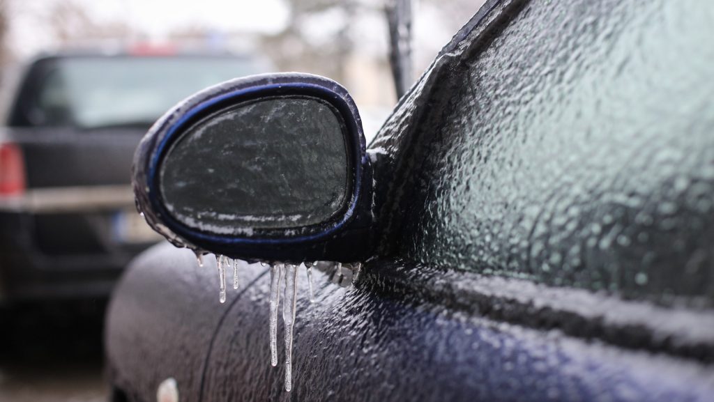
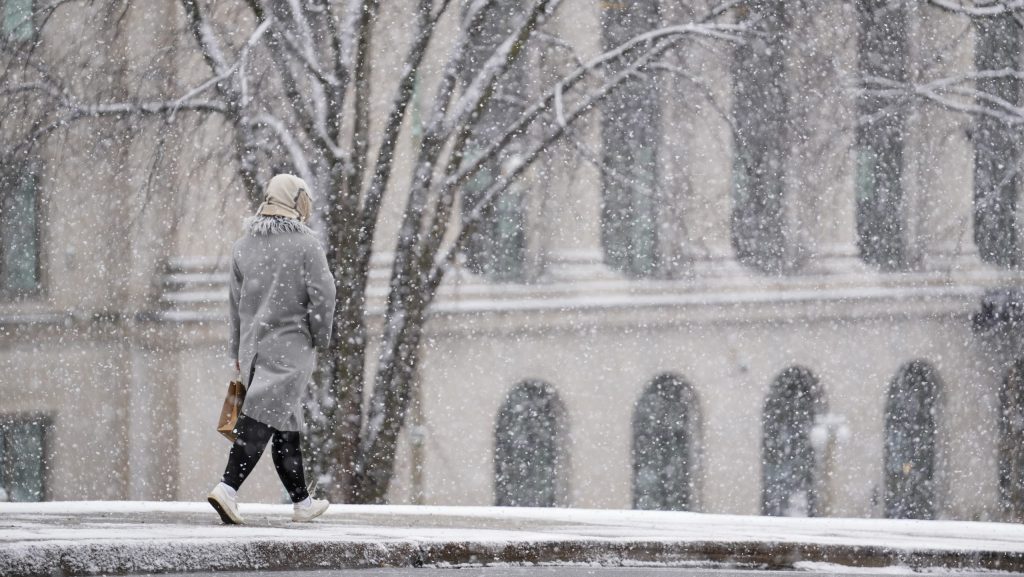
Heavy snowfall coming to Ottawa this week
Posted Apr 7, 2025 11:07:08 AM.
Last Updated Apr 7, 2025 11:07:13 AM.
A surprise spring snowfall is expected in the nation’s capital this week, according to Environment Canada.
The city could see between 5 to 15 centimetres of snow, likely reducing visibility. The weather agency is also warning of blowing snow in the area, set to start Monday evening and end Tuesday afternoon.
The low-pressure system is bringing “heavy” snow to the city and the surrounding area. The northwest winds will develop over Tuesday to 60 km/h, bringing an increased risk of blowing snow.
“Prepare for quickly changing and deteriorating travel conditions. If visibility is reduced while driving, slow down, watch for tail lights ahead and be prepared to stop,” Environment Canada said.
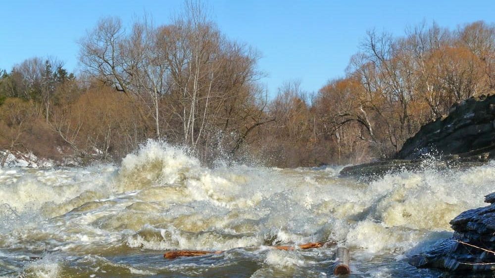
Flood warning issued
This comes as the region just experienced multiple rainstorms over the last week, raising water levels across all rivers in the area.
The Mississippi Valley Conservation Authority is warning of flooding across its waterways as of April 5. According to the organization, this warning means that flooding is imminent or already occurring in some areas.
“Water levels and flows are elevated across the MVCA jurisdiction,” it reads. “The combination of snowmelt from warmer temperatures and recent rainfall has led to a significant rise in water levels and flows across local water bodies.”
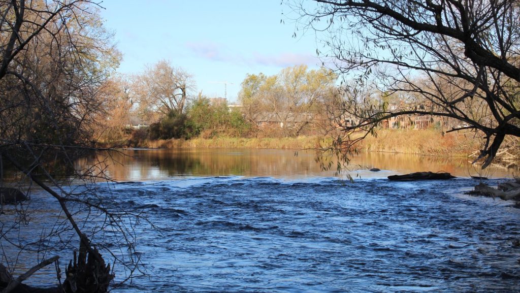
The conservation authority focuses on municipalities west of Ottawa, including Carleton Place and Almonte. It also advises people in Stittsville, parts of Kanata and the communities in Ottawa north of Highway 417.
The Rideau River is under a flood watch warning, and the Lower Ottawa River has a flood outlook statement issued by the Rideau Valley Conservation Authority.