Tornado threat passes following severe thunderstorms south of Ottawa

Posted Jul 7, 2025 03:13:49 PM.
Last Updated Jul 8, 2025 09:01:52 AM.
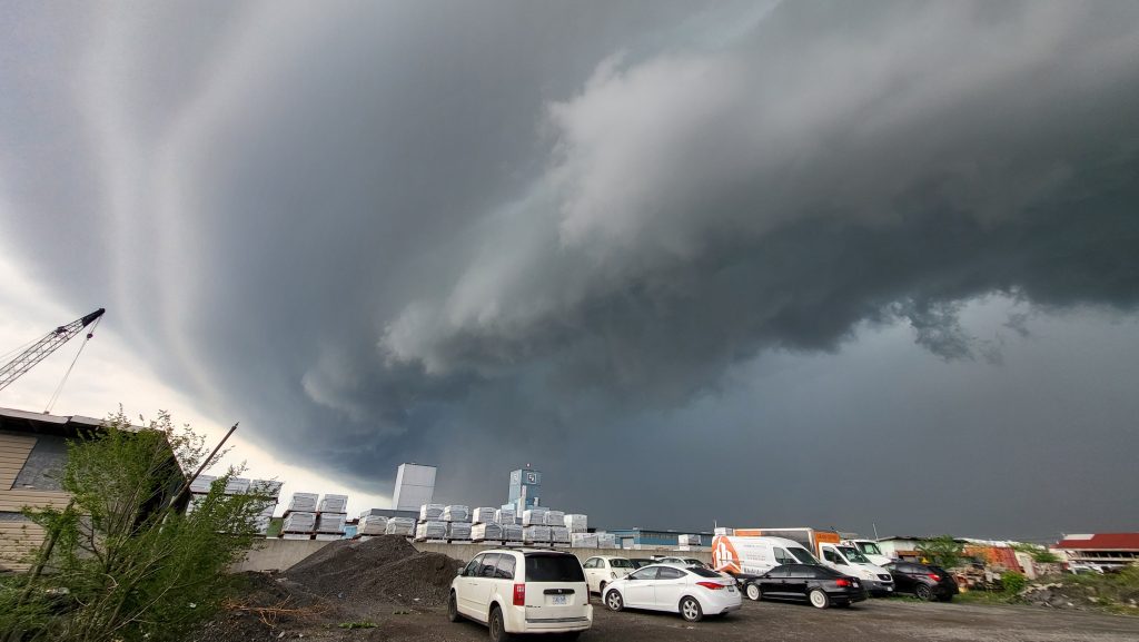
An unsettled Monday for the Ottawa area brought a threat of severe thunderstorms along with tornado potential.
Environment Canada released watches and warnings Monday afternoon as officials tracked a line of thunderstorms capable of strong winds and heavy rain.
Meteorologists at Environment Canada say heavy rain may cause flash flooding and limit visibility at times. They suggest taking immediate cover if a thunderstorm approaches, and people should protect themselves from flying debris and hail.
A weather alert issued around 3:30 p.m. said a storm capable of producing a tornado was near Jasper, Ont, outside of Smiths Falls, and moving northeast at 55 km/h.
A tornado warning was issued
Environment Canada did issue a tornado warning for Merrickville – Kemptville.
By 4:00 p.m., Environment Canada said the storm picked up speed near Oxford Station and continued east at 80 km/h. By 4:15 p.m., all severe weather warnings were dropped as the thunderstorms had weakened or moved out of the area.
“If you hear a roaring sound or see a funnel cloud, swirling debris near the ground, flying debris, or any threatening weather approaching, take shelter immediately,” the weather agency said.
The weather agency says “severe thunderstorm warnings are issued when imminent or occurring thunderstorms are expected to produce damaging hail, wind or rain.”
The high temperatures and humidity the nation’s capital and much of the province are experiencing is expected to stick around, according to one expert.
On Monday, the highs are expected to be 22 C, feeling like 30 with the humidex in Ottawa. This is a slight break from the high heat a few weeks ago that prompted Environment Canada to issue a smattering of warnings across Ontario and broke a record in the city.

With files from Natasha O’Neill.