Tornado warning for areas near Ottawa dropped as ‘strong’ system passes
Posted Jun 18, 2026 09:35:14 AM.
Last Updated Jun 18, 2026 08:30:15 PM.
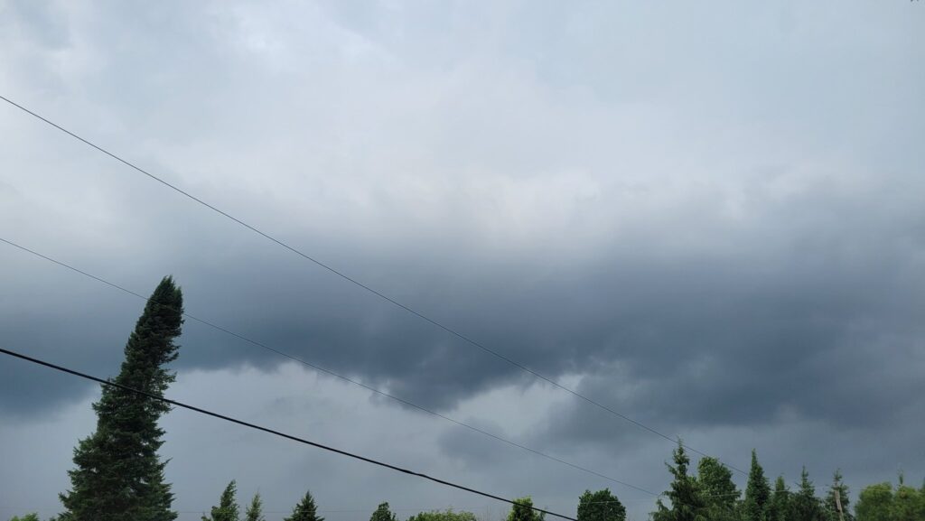
Rural communities near Ottawa were being asked to take cover as a severe storm travelled across the region Thursday afternoon.
According to Environment Canada, rain showers continue as wind gusts are expected to pick up later in the afternoon. The weather agency calls the system “strong” as it brings heavy rain.
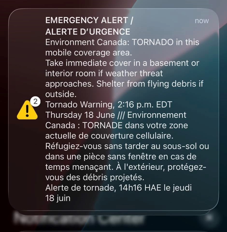
A second tornado warning was in effect for the Charleston Lake area, south of Perth, as the tail end of the storm passed through the community up the Seaway.
As of 2:45 p.m., Environment Canada predicted that Lyndhurst, Charleston Lake Provincial Park, Athens and Lyn were in the path of a tornado.
“This is a very dangerous and potentially life-threatening situation,” the warning read.
It prompted a brief tornado warning for portions of eastern Ontario, including Clarence-Rockland and Casselman areas. Specifically, the weather agency noted that Alexandria, Green Valley, Dalkeith, Glen Sandfield, Glen Robertson could have been in the path of a tornado.
The low-pressure system dumped between 30 and 40 millimetres of precipitation in the nation’s capital on Thursday.
Experts have high confidence that a severe thunderstorm will happen on Thursday. They say that conditions are “favourable” for the development of a system that “may be capable of producing strong wind gusts.”
“Rainfall amounts of 40 mm or greater are possible as a result of the showers and thunderstorms with this system,” the release notes.
Environment Canada’s forecast predicted gusts near 90 km/h. It’s warning of power outages and possible damage to roofs, fences and branches.